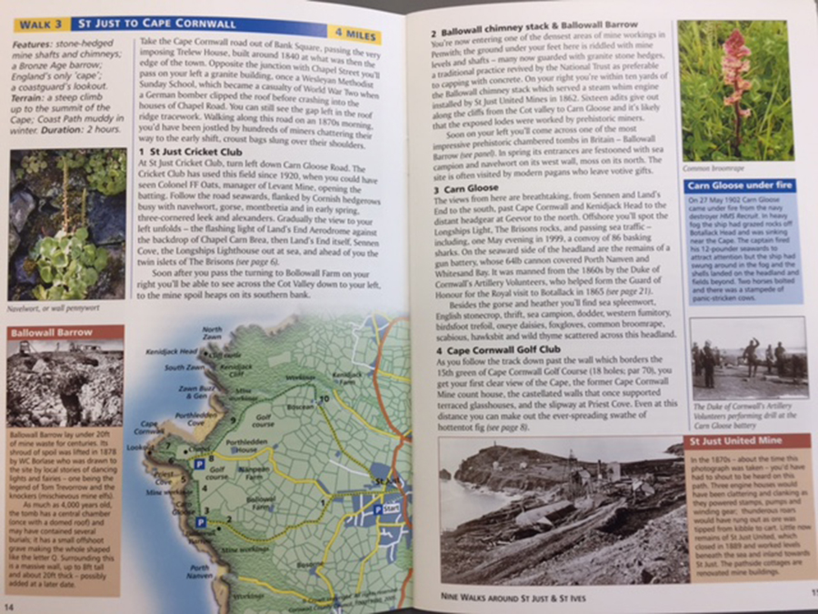
I recently purchased a fabulous little book called Nine Walks around St Just and St Ives which not only gives you a variety of routes around this fascinating area of West Cornwall but a an insight into its rich mining history, culture, architecture, geology and local traditions.
All the walks start or pass through towns and villages where you can park easily and stop off for well earned refreshments. This walk begins at the lighthouse at Pendeen where you can leave your car in the coastal car park alongside.
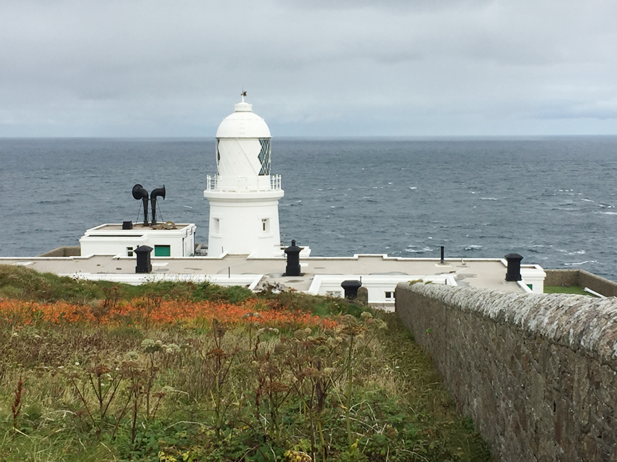
I walked this circular route with my friend Caroline and her springer spaniel, Polly. We chose the route as it is predominantly off road with plenty of running space for Polly and lots of interest for us. It is a mixture of coast path and cliffs, with inland footpaths through famers’ fields and a tiny bit of quiet road at Morvah and the lane leading back from Pendeen village to Pendeen Watch.
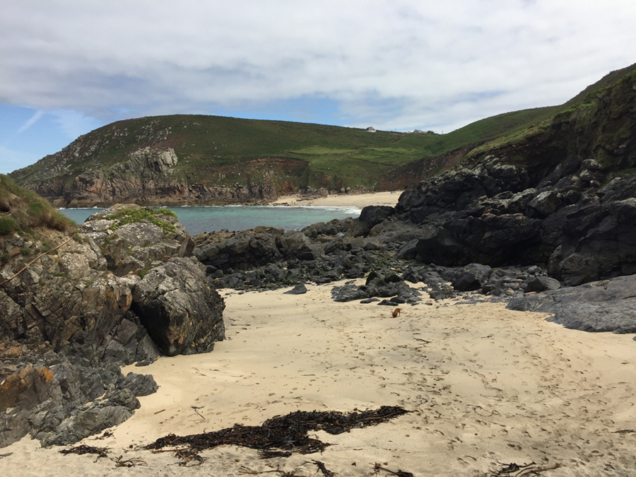
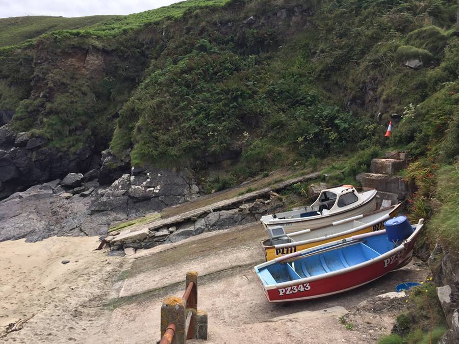
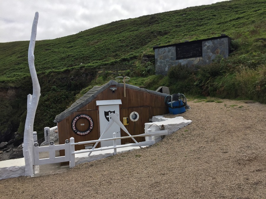
The walk follows the coast, heading east past the ruins of Pendeen Consols mine and its spoil heaps towards Portheras cove, famous in the first Poldark series as Nampara Cove. As you head out, make a slight detour to explore Pendeen Fishing station at Boat Cove, where seine boats were launched to catch pilchards and the buildings there were once pilchard cellars, with holes still evident in the walls where the beams were used to press the pilchards down into the barrels for preservation.
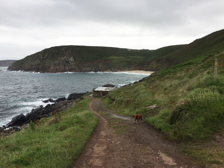
You are now following the track where carts would have been busy taking ore from the mine to the dressing floor and stamps at Portheras Cove for tin extraction. The coast path enters a ravine with fast flowing streams which were used in the 1800’s to power the wheels of 11 tin processing works and a corn mill.
Today the ruins have largely been covered by vegetation and a plethora of wild flowers and our views were greatly enhanced by the delightful mix of purple and yellow hues of the heather and gorse. The reef of the Three Stone Oar off this coastline has been a graveyard for countless ships and spurred on the building of the Pendeen lighthouse between 1865 and 1900. When ships were wrecked, swarms of locals would gather on Portheras beach to harvest the washed up cargo, ranging from brandy, calico, bacon and butter, besides the valuable construction materials and trinkets.
The path now climbs Chypraze cliff and descends into the Morvah valley where you turn inland at the footpath marked Morvah, climbing up to the village via a bramble flanked path, skirting the churchyard. Continue to the main road, passing the Schoolhouse Gallery, where you can find a welcoming cup of tea or coffee.
Turn right at the road, past Tregaminion farm and follow the road towards the hand-railed bridge and before you reach it, take the road on the right to Chypraze. After 100 yards take the footpath left over a stream and emerge opposite a row of cottages. Turn left and take the footpath over round paving stones through the house gardens to a narrow stile and follow the hedge and head uphill to a stile at the top, continuing on an old church path in a beeline with Morvah church.
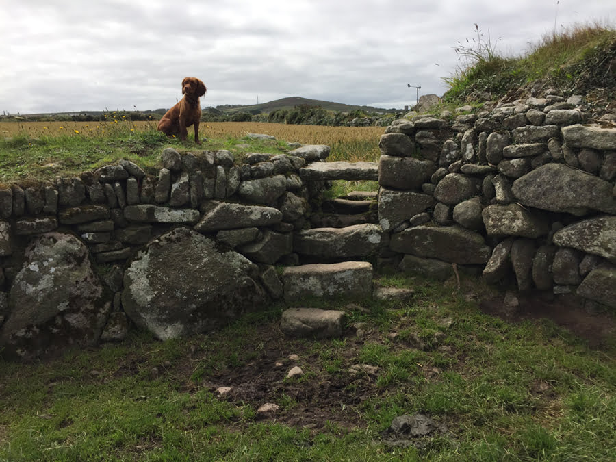
Leave the next field by the low granite stile at the seaward side continuing to Chrose farm, keeping the buildings on the left and cross a narrow stile by a metal gate. Follow the yellow markers of the footpath diversion behind the farm buildings and then head straight across the field downhill to reach a wooden stile amidst gorse bushes. Turn right then left past the concrete shed and across two streams. Head uphill slightly right of the telegraph pole and over a granite stile in an impressive stone wall to reach the top of this field in front of the buildings.
Turn towards the farm and cross a stile opposite the farmhouse oil tank, turn left and after 50 yards cross the stile on your right. Follow the wall on your left to a stile in the corner on the landward side. Cross the stile and after 20 yards cross another on your right. Head towards some barns to reach a stile in the corner beside a metal gate, follow the wall on the right to a gate and a stile next to a cottage. Cross another stile, head left along the track and take the right fork to reach the road. You can turn left here to explore Pendeen or turn right to follow the road back to the car park. You will pass the entrance to Manor Farm on the right, built in the 15th century and featured as Nampara House in the 1970’s Poldark series.
I suggest you take the OS map 102 Land’s End as back up following these footpaths to avoid getting lost. We so enjoyed this walk and thanks to our guide book, came home knowing a lot more about the area than when we started. Can’t wait to try the other eight!


